

FJ DYNAMICS RANGE · HYBRID LIDAR SCANNER
FJD Trion T1
FJ Dynamics' first hybrid mobile and stationary LiDAR scanner. Walk the whole site in mobile mode, then set it on a tripod wherever accuracy matters: 4 mm at 10 m. One device for the whole project.
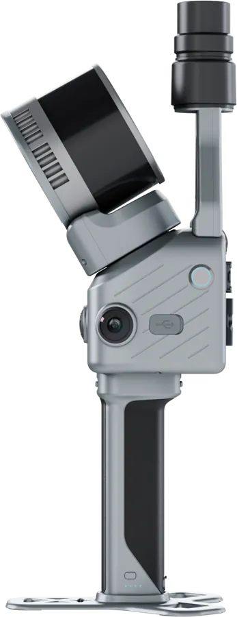
One scanner for the whole project
Efficiency or accuracy: no need to choose any more. Cover large sites in mobile mode, then switch to terrestrial mode for critical areas. Both surveys can be processed separately or merged into a single point cloud.
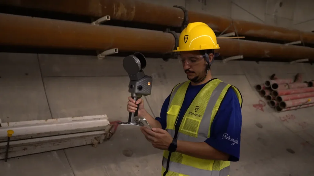
COVER THE SITE
Mobile mode
• Relative accuracy ≤ 1 cm
• Range from 0.5 to 120 m
• Handheld, on a vehicle or on a drone
• Scan sessions of up to 1 hour
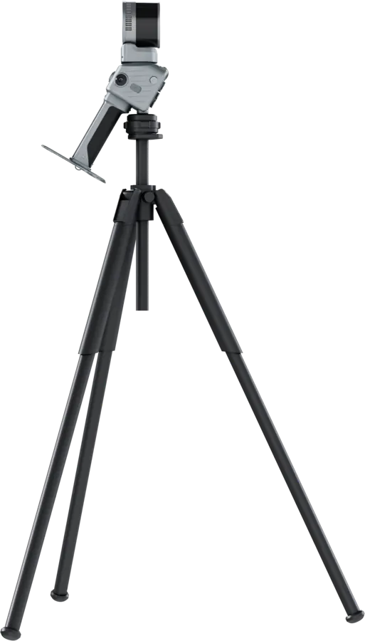
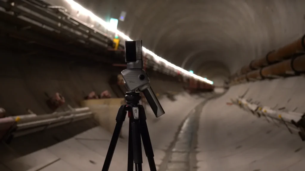
REFINE WHAT MATTERS
Terrestrial mode
• Relative accuracy of 4 mm at 10 m and 8 mm at 30 m
• Range from 0.5 to 60 m
• 30 s per station, or 2 min in high density
• Ideal where mobile SLAM is less reliable
Integrated by design
LiDAR 640,000 pts/s
360° × 270° field of view, Class 1 eye-safe laser (905 nm).
Built-in RTK
Multi-constellation, 8 mm + 1 ppm horizontal, PPK mode for post-processing.
4 cameras
Three 48 MP imaging cameras for 360° panoramas and one 1080p vision camera.
1.65 kg, modular
A light unit, easy to carry and reconfigure, with an accessory mount.
MOBILE MODE
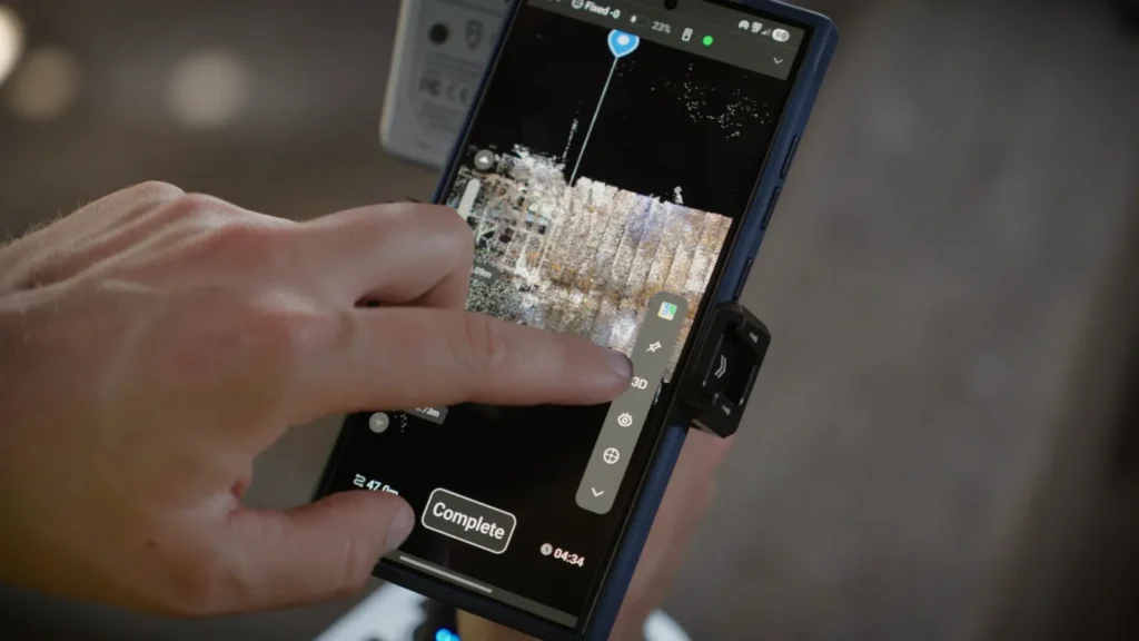
Mobile mode builds the framework of the survey
See your coverage
Real-time colourised point cloud in 2D or 3D: spot missing areas before you leave the site.
Scan for longer
Continuous sessions of up to 1 hour to cover large areas in one go.
Pick up where you left off
Survey in stages: re-align on an area already scanned and the software merges the data, with no manual registration.
From ground to air
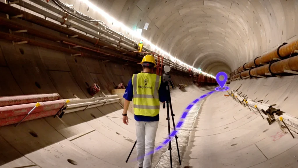
Handheld, on a vehicle or on a drone, to cover roads, infrastructure, forests and large sites.
TERRESTRIAL MODE
Terrestrial mode adds the detail
Choose between speed and density at each station, with the same nominal accuracy.
30 s
Fastest station
2 min
High density
4 mm
Accuracy at 10 m
Every station linked
Multi-sensor SLAM records the relative position of stations as you move, for faster registration during processing.
The site, not just the scan
Three 48 MP cameras produce 360° panoramas and richly colourised point clouds.
Results tailored to every need
Process mobile and terrestrial surveys separately, or merge them into a single point cloud, depending on whether the project calls for overall coverage, precise local detail, or both.
Cover and review the whole site
Mobile point cloud — ideal for the overall view and site documentation.
Inspect and measure critical areas
Terrestrial point cloud — ideal for local detail and precision measurements.
Combine coverage and detail
Merged point cloud — ideal for full review and project delivery.
FJD Trion Model
Professional processing: point clouds, meshing, 3DGS, CAD/BIM, cross-sections, forestry analysis.
FJD Trion Model Web
Access, share and deliver in the cloud to collaborate across multiple sites. Coming soon: data upload from mobile and one-tap cloud processing.
FJD Trion T1 specifications
Relative accuracy
Mobile ≤ 1 cm · terrestrial 4 mm at 10 m, 8 mm at 30 m
Range
Mobile 0.5–120 m · terrestrial 0.5–60 m · 120 m at 80%, 80 m at 10% reflectivity
LiDAR
640,000 points/s · 360° × 270° · Class 1, 905 nm
Imaging cameras
3 × 48 MP · 360° × 235° · f/2 aperture
Vision camera
1080p RGB · 80° × 47° · f/2.2 aperture
Active cameras
Mobile: 1 × 1080p + 2 × 48 MP · terrestrial: 3 × 48 MP
GNSS & RTK
BDS, GPS, GLONASS, Galileo, QZSS · H: 8 mm + 1 ppm, V: 15 mm + 1 ppm RMS · PPK
Battery life
3.5 h with two handles · 43.2 Wh · 24 W · handle battery + DC power
Weight
1.65 kg (main unit) · 2.23 kg with battery, stand and RTK
Dimensions
108 × 173 × 433 mm
Environment
IP54 · -20 °C to 50 °C operating
Data
512 GB, expandable to 1 TB · Wi-Fi, USB-C
Versatile across every trade
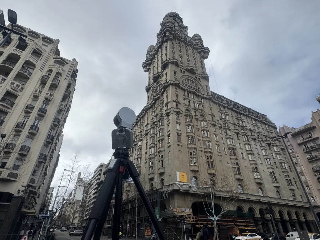
Architecture & construction
Façade surveys, heritage, as-built records and BIM workflows, with the detail of terrestrial mode.
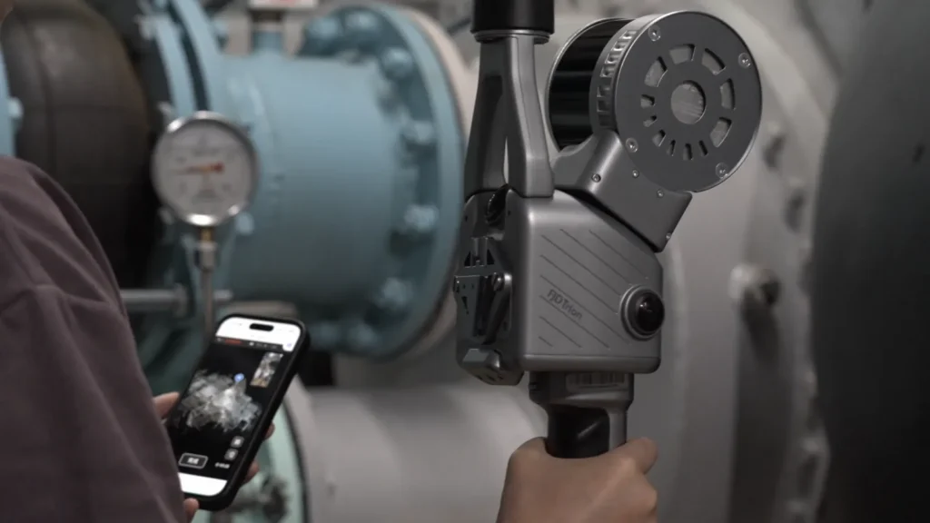
Industrial engineering
Pipework, equipment and plant rooms surveyed to the millimetre for your modification studies.
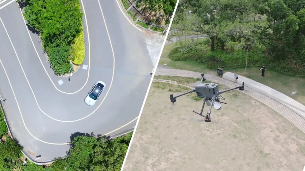
Infrastructure
Roads, structures and tunnels covered in mobile mode, on a vehicle or a drone, then detailed on a tripod.
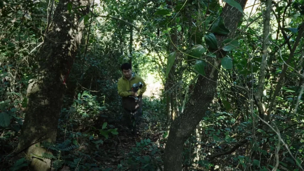
Forests
Forest inventories and analysis in dense undergrowth, where GNSS cannot reach.
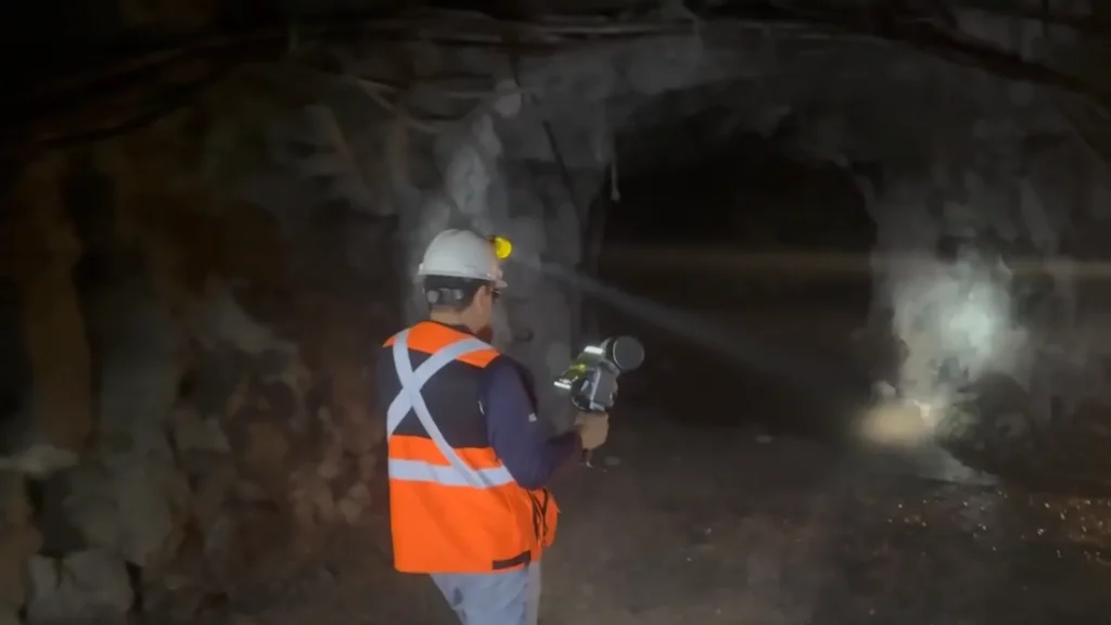
Mines & quarries
Galleries, working faces and stockpiles surveyed in mobile mode, with precise stations at critical points.
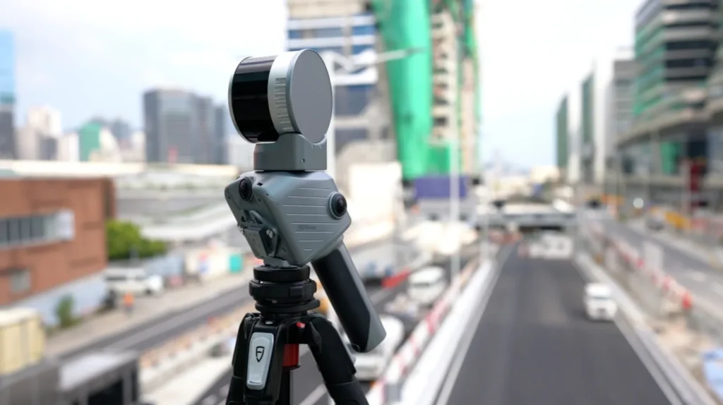
Surveying & mapping
Georeferenced surveys with RTK or PPK, from the overall plan to road detail.
Which FJ Dynamics scanner should you choose?
Trion T1
The hybrid choice: mobile coverage and millimetre accuracy on a tripod in a single device.
Trion S2
Large sites in mobile mode: up to 300 m range, and mountable on a drone, vehicle or quadruped robot.
Discover the FJD Trion S2 →Trion X1
Guided missions: on-screen routes, issues marked in 3D and voice notes for a direct report.
Discover the FJD Trion X1 →FJD Trion T1 frequently asked questions
What is the difference between mobile mode and terrestrial mode?
In mobile mode, you scan while walking (or on a vehicle or drone) to cover a large site quickly, with relative accuracy ≤ 1 cm. In terrestrial mode, the T1 sits on a tripod for more accurate fixed stations: 4 mm at 10 m and 8 mm at 30 m.
Can the two surveys be combined?
Yes. Mobile and terrestrial point clouds can be processed separately or merged into a single cloud in FJD Trion Model. Multi-sensor SLAM records station positions as you move, which speeds up registration.
How long does a station take in terrestrial mode?
30 seconds for the fastest, up to 2 minutes for higher density, with the same nominal accuracy.
Is the T1 georeferenced?
Yes. The built-in RTK module (BDS, GPS, GLONASS, Galileo, QZSS) achieves 8 mm + 1 ppm horizontal, and PPK mode allows post-processing when real-time correction is not available.
What is the battery life?
Around 3.5 hours with two battery handles, at a power draw of 24 W. DC power is also possible.
Can I see the T1 in a demonstration?
Yes. DART Solutions runs demonstrations at your site in both modes and trains your operators on the scanner and on FJD Trion Model.
Coverage and accuracy on the same project?
Tell us about your site: construction, industry, infrastructure, mining or forestry. We will set up a demonstration of the T1 in mobile and terrestrial mode, and train your teams.
Contact us