


GNSS RTK receivers · Surveying · GIS · Drones
Emlid GNSS RTK
Rugged GNSS RTK receivers and synchronised field software: Emlid makes centimetre accuracy accessible to surveyors, contractors and utility operators.
The receiver range
Five products covering surveying, stakeout, GIS, 3D scanning and drones.
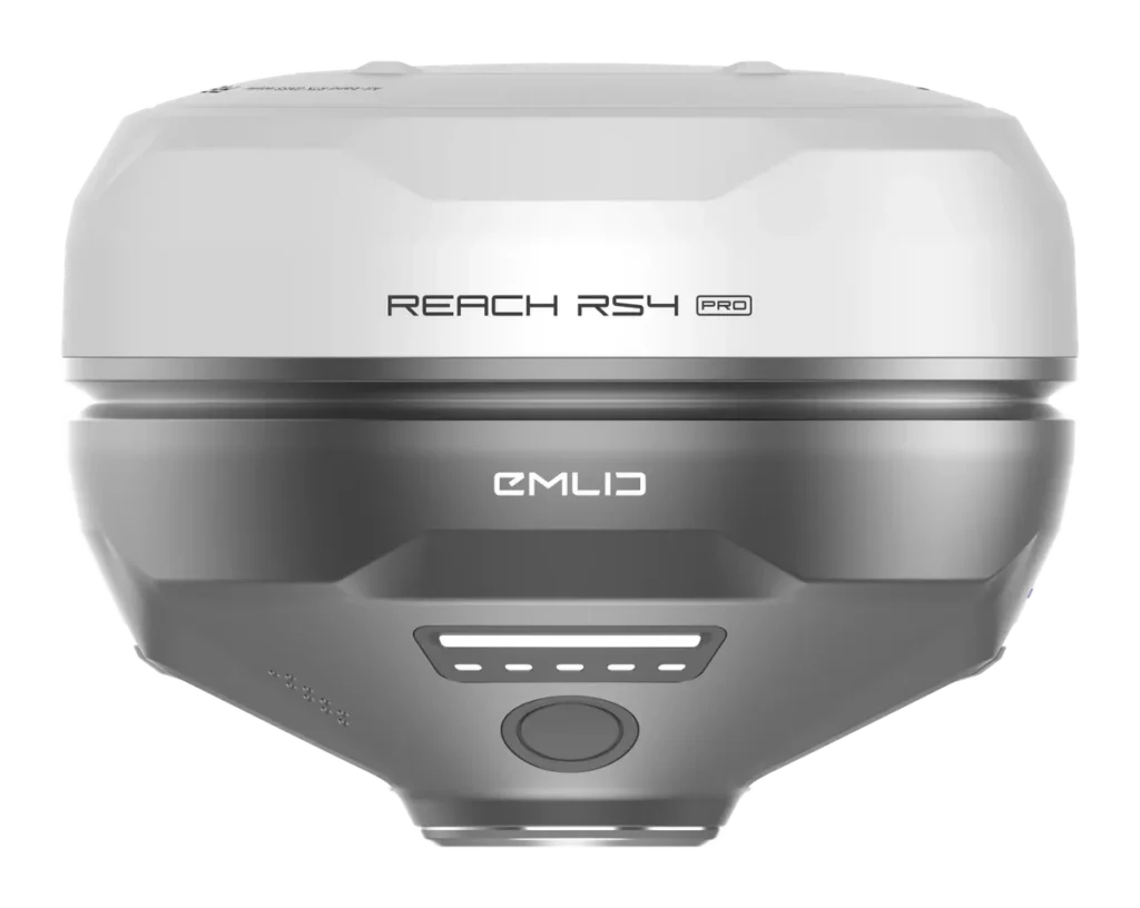
DUAL CAMERA
Reach RS4 Pro
The flagship for stakeout and surveying.
• Augmented-reality stakeout
• Image-based measuring
• Multi-band, radio, LTE
From €3,999 excl. VAT
View product →
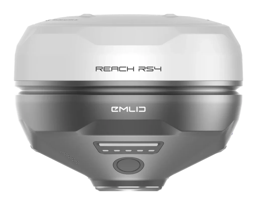
BASE AND ROVER
Reach RS4
The versatile multi-band receiver.
• 672 channels L1/L2/L5/L6
• 2 W UHF and LoRa radio
• LTE modem, IP68
From €3,299 excl. VAT
View product →
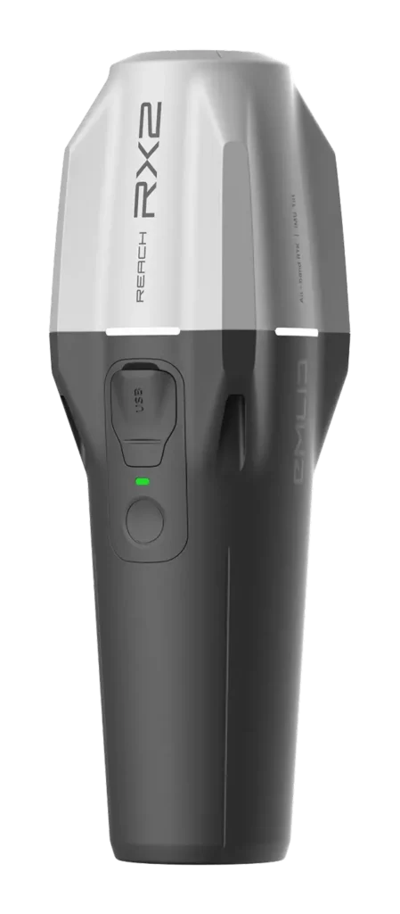
COMPACT ROVER
Reach RX2
The lightweight rover for GIS and utilities.
• 280 g, multi-band
• ArcGIS, QField, PIX4Dcatch
• Corrections via the smartphone
From €1,999 excl. VAT
View product →
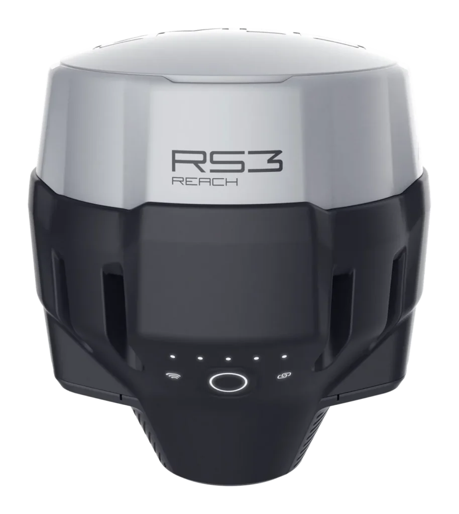
MULTI-BAND
Reach RS3
The best-value base and rover pair.
• IMU tilt
• LoRa radio and LTE
• 18 h battery life
From €2,499 excl. VAT
View product →
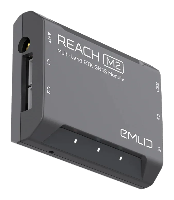
DRONES
Reach M2
The RTK/PPK module for drones and autonomous systems.
• 35 g, multi-band
• Camera synchronisation
• PPK without control points
From €649 excl. VAT
View product →
Why choose Emlid
A consistent range, from the lightweight GIS rover to the dual-camera stakeout receiver.
Centimetre accuracy
RTK 7 mm + 1 ppm across the range, tilt compensation and multi-band tracking on the latest models.
Simplicity
One app, Emlid Flow, to control the receivers, stake out and share projects with the office.
Base or network
Work with an NTRIP correction network or with your own Reach base linked by radio, even where there is no coverage.
Controlled cost
Survey-grade performance at a fraction of the price of traditional solutions.
Compare Emlid receivers
Key specifications side by side to choose the right model.
Model
Main use
Stakeout, surveying
Surveying, base and rover
GIS, utilities, 3D scanning
Surveying base and rover
Drones, autonomous systems
Bands · channels
L1/L2/L5/L6 · 672
L1/L2/L5/L6 · 672
L1/L2/L5/L6 · 672
L1/L2 · 184
L1/L2 · 184
RTK accuracy (H)
7 mm + 1 ppm
7 mm + 1 ppm
7 mm + 1 ppm
7 mm + 1 ppm
7 mm + 1 ppm
Tilt compensation
Yes
Yes
Yes
Yes (IMU)
—
Cameras
2 × Full HD
—
—
—
Camera sync
Radio
2 W UHF + 1 W LoRa
2 W UHF + 1 W LoRa
— (NTRIP via smartphone)
0.1 W LoRa + UHF reception
Optional LoRa
LTE modem
Yes
Yes
—
Yes
—
Base mode
Yes
Yes
—
Yes
—
Battery life
16 h
16 h
16 h
18 h
Powered by the carrier
Protection
IP68, −40 °C
IP68, −40 °C
IP68, −20 °C
IP67, −20 °C
—
Weight
943 g
927 g
280 g
950 g
35 g
Public price
€3,999 excl. VAT
€3,299 excl. VAT
€1,999 excl. VAT
€2,499 excl. VAT
€649 excl. VAT
Specifications provided by Emlid. Public prices excluding VAT as published by Emlid (October 2026), shipping not included, subject to change; project and volume pricing on request.
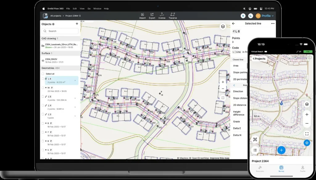
EMLID ECOSYSTEM
Software designed for the field
Emlid receivers come with a complete software ecosystem, from the smartphone to the office. Basic features are free, with paid options for advanced use.
• Field app for iOS and Android
• Cloud sync with the office
• Free post-processing and correction broadcasting
Emlid Flow
The field app: topographic surveys, CAD stakeout, alignments and curves, cut and fill.
Emlid Flow 360
The web platform: shared projects, access management and real-time progress tracking.
Emlid Studio
Free software for PPK and static post-processing, and for geotagging drone photos.
Kits and accessories
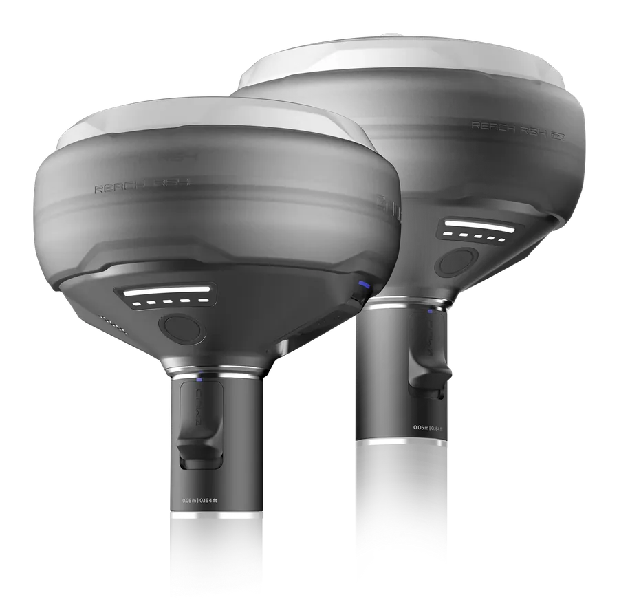
Emlid kits
Base and rover, rover ready on a pole, drone base station, 3D scanning: complete bundles at a package price.
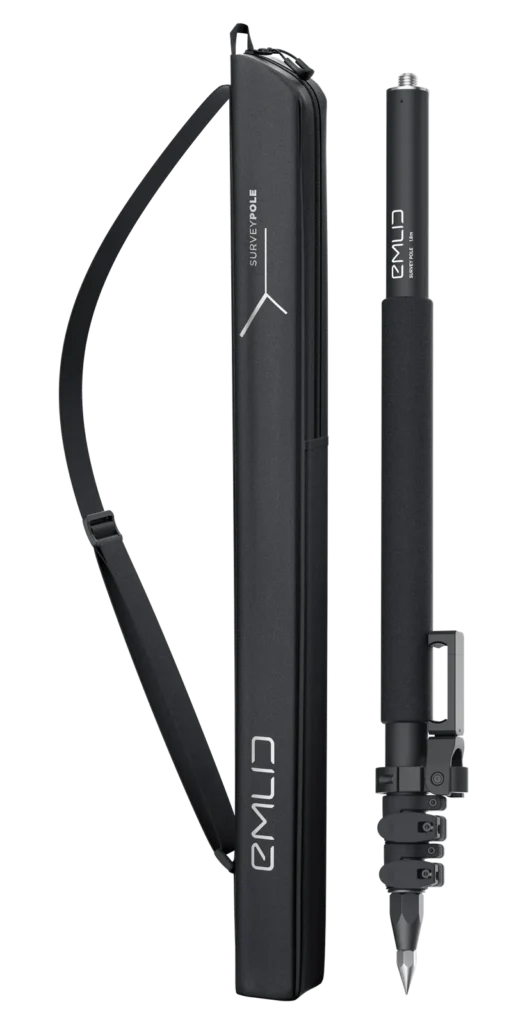
Accessories
Poles, tripods and tribrachs, smartphone mounts, antennas, cables and chargers, with their compatibility.
DART Solutions, your official Emlid reseller since November 2026
Buying from DART means support from choosing the equipment right through to the field, from a team based in France.
Advice and selection
We start from your sites and deliverables to choose the right receiver, the right correction source and the right accessories.
Commissioning
Base and rover set-up, NTRIP or radio corrections, coordinate system and ready-to-use Emlid Flow projects.
Training
Hands-on training in the field: surveying, stakeout, accuracy checks and data exchange with the office.
Support and after-sales
A single point of contact for your questions, your updates and liaison with Emlid for warranty claims.
Emlid GNSS RTK FAQ
What is RTK?
RTK (Real Time Kinematic) corrects the GNSS position in real time using data from a reference station. Accuracy goes from a few metres to a few centimetres.
Which Emlid receiver should I choose?
RS4 Pro for stakeout and advanced surveying, RS4 for versatile use or as a base, RX2 for GIS and utilities with a smartphone, RS3 for a cost-effective base and rover pair, M2 for drones. We help you decide based on your sites.
Do I need a subscription?
Not necessarily. You can use an NTRIP correction network, or work without a network with your own Reach base linked by radio. We recommend the solution that suits your sites.
Base or correction network?
A network avoids setting up a base and is enough wherever there is mobile coverage. A Reach base over radio keeps you independent in areas without coverage and in remote terrain.
Are the displayed prices final?
They are Emlid's public prices excluding VAT, shipping not included. For several units or a project with commissioning and training, ask us for a quote.
Why buy from DART Solutions?
As an official Emlid reseller, we provide advice before you buy, commissioning, training and support in France after the sale.
A GNSS RTK project?
Choosing a receiver, a quote or a field demo: let's talk about your needs.
Request a quote